The oldest sources about tsunamis come from Japan. Japanese islands are located in the seismic danger zone and the population density is very high
It was only in the middle of the 20th century, in the wake of the war and the Japanese renunciation of the Kuril Islands, that the Japanese began to seriously study the phenomenon. Terrible tsunami happened in 1952: a huge wave fell on the whole coast of Kurils, the city of Severo-Kurilsk was completely washed away. According to various estimates, about five thousand people died.
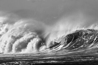
Causes of tsunamis
The most common cause of tsunamis is underwater earthquakes. The movement of continents is related to the movement of magma: it causes the continents to collide. According to the main theory, the oceanic plates collide with the continental plates, and at the junction of the plates a source of problems is formed – subduction zones, when one plate sort of crawls under the other. At this junction the most terrible events take place.
This idea, the concept of spreading, appeared in the 1960s. Convection (internal heat exchange in which energy is transferred by jets and flows) occurs in the Earth’s mantle, causing the plates, especially in the oceanic basin, to shift dramatically.
In the Kuril Islands, for example, plates are currently shifting about six centimeters a year, and in some places as much as ten. The plates are compressed, forming elastic stresses that gradually build up. During an earthquake, the accumulated elastic energy is usually released (discharged). However, sometimes the stress can accumulate for tens or hundreds of years. Then a very large earthquake will occur.
Sources of tsunamis may also be submarine landslides resulting from seismic shocks and tremors, or sometimes of their own accord. One of the most famous such events occurred in 1929. A small earthquake occurred, which by itself could not have caused a tsunami, but caused the underwater slope to collapse. A torrent formed that swept several thousand kilometers from Newfoundland southward, severing the cables that connected Europe and America. The resulting tsunami wave was very powerful and caused great destruction – it was a landslide tsunami. They are not usually of a transoceanic nature, but rather local, and the destruction caused by them is on the scale of ten kilometers. The Newfoundland event is rather the exception.
The legend of the sinking of Atlantis
Volcanic activity is one of the causes of tsunamis in a number of cases. Volcano Santorini is a famous example. It exploded and caused a wave of tsunamis. This was determined by geological data. We call it a paleotsunami. We were able to find out that the waves were up to 200 meters, and according to some reports, 260 meters. This wave struck the coast of Crete and probably caused the death of the Minoan civilization. Some scientific research suggests that it was the Minoan eruption that may have been the basis for the legend of the death of Atlantis “in one day and a miserable night,” as told by Plato.
Expeditions to search for the paleotsunami are organized every year. But it is a difficult task: you have to know the area where to look. Promising areas to search are the marsh at the first 10-20 meters above sea level (otherwise the tsunami would simply not reach it). If the wave reached the marsh, it brought salt water and marine organisms with it. We excavate such pits, find these traces, analyze them, tie them together. Sometimes the events of antiquity are superimposed on the tsunamis of recent decades. It is interesting that the strongest splashes are found exactly in paleotsunamis – for example, traces of waves up to 300 meters were found in Hawaii, which happened several thousand years ago.
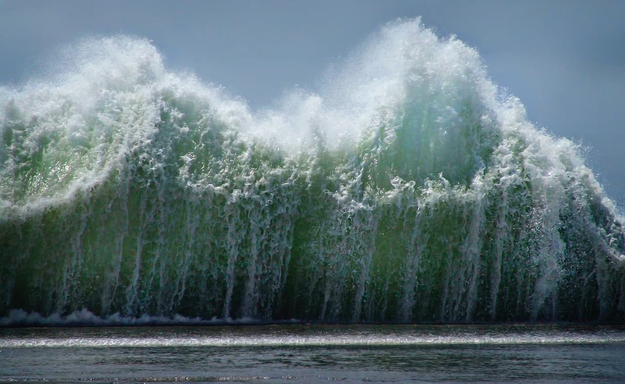
The most famous tsunamis and dangerous regions
In terms of tsunami intensity, the most dangerous regions are the Japanese Islands, Indonesia, Chile, the Aleutian Islands, and Alaska. In general, the Pacific region is the most dangerous, and tsunamis occur much more frequently there. But one of the largest earthquakes ever recorded occurred in the Indian Ocean in 2004.
The tragedy occurred because many in the region had not seen serious seismic activity. There is a hypothesis of “seismic gaps”, according to which if there are no strong earthquakes in the area for a long time, tens or hundreds of years, very strong elastic stresses accumulate there. That’s exactly what happened in the Andaman Islands area. Seismologists knew that this area was seismically active, but for about 150 years there were no earthquakes. The event that occurred in December 2004 was very powerful – the magnitude, according to various estimates, is from 9.1 to 9.3 points. About 300 thousand people died, and it was because nobody expected it. There were no warning systems, people were totally unprepared.
Within the framework of this terrible event, the story of Simalur Island is noteworthy. It was just south of the Indonesian city of Banda Aceh, which was very much damaged and destroyed by the tsunami, i.e. it was actually in the epicenter. On many islands people were killed and villages close to the coast were almost all washed away. And it was on this island that the least number died – seven people. In fact, they simply refused to evacuate. It was on this island that people kept the legends, passed down from generation to generation, that after major earthquakes you have to go into the mountains, which they did. And the seven who refused to do so died.
One of the largest tsunamis occurred on November 5, 1952 in the Kuril Islands. The city of Severo-Kurilsk and many settlements on the coast of Kamchatka and the Kuril Islands were completely destroyed. Remarkably, there was no mention of the event in Soviet newspapers at the time. According to available information, about 40 minutes after the first tremor two tsunami waves came to North Kurilsk. The first was not very high, flooding only the low-lying houses, while the second was 10 meters high and caused the major disasters. The radio station broadcast an SOS, but it was pretty inconsequential, and Petropavlovsk could not understand what was going on.
The most important thing in case of a tsunami is to know what to do. In many cases it is possible to escape, although, of course, there are areas and situations where it is difficult to do so. Unfortunately, in the Indian tsunami, many tourists died just because of lack of knowledge. But there is a famous example of ten-year-old English schoolgirl Tilly Smith, who was vacationing with her parents in Indonesia during the events of 2004. Shortly before, she and her classmates had been told about the tsunami during a geography lesson at school, and while on vacation she was able to recognize its signs and warn her parents and those who were with them on the beach about the impending disaster. Thus, thanks to her, more than a hundred people were saved.
Several other major marine earthquakes and subsequent tsunamis are known to have occurred. In the middle of XVIII century, in 1755, a large tsunami struck the coast of Portugal and Morocco, Lisbon was heavily damaged, about 100 thousand people died. The Japanese islands were regularly affected by earthquakes and tsunamis throughout the eighteenth and nineteenth centuries. A particularly strong event occurred not long ago, in 2011 – it is also called the “Great East Japan Earthquake”. It is the largest earthquake in Japan, with a magnitude of 9.1.

Tsunami forecast
Tsunami forecasts are long-term and short-term. Long-term forecast implies a risk assessment. That is, for example, the possibility of a tsunami in the Baltic is very low, though not zero. But you can easily build buildings on the shore, swim there and there is no need for a special tsunami service. On the coast of Northern Sakhalin, the probability of a tsunami is also quite low. But on the Kuril Islands, on South Sakhalin and in the area of the Sea of Japan, the risk level is much higher. This is called a long-term forecast: the probable height of the tsunami wave and its recurrence rate are evaluated. The notion of “repeatability” implies that, for example, a tsunami with a height of 3 meters will occur in the area once every 10 years, and for a tsunami with a height of 20 meters the repeatability can be 100 years, these are complex and usually accurate forecasts, to calculate which there is a whole algorithm of actions, some people imagine that calculation of scientists looks approximately like playing online casino, but it is definitely not. The highest waves and the most frequent recurrence come from the Kuril Islands and Kamchatka. Large tsunamis with significant heights occur there once every five years.
Another type of forecast is operational. That is, this is a forecast of an event that has actually already happened. An earthquake has happened, a tsunami has formed, but the coastal residents still have time, and we can assess the problem, make decisions about evacuating and taking ships to the open sea. In short, there are a lot of activities that depend on this forecast. When the tsunami service first appeared, such decisions were made only on the basis of earthquake strength: the magnitude was estimated with seismic instruments. If an earthquake is greater than magnitude 6, a tsunami can occur, although at magnitude 6 it is insignificant. For the Kuril Islands an alarming magnitude is 7 or 7.5. Such an earthquake can generate a serious tsunami. And, as mentioned above, this characteristic has long been the only basis for deciding to evacuate Sakhalin, Kamchatka, and the Kuril Islands.
However, not all earthquakes generate tsunamis. And people alarmed by evacuation notices usually don’t like running off into the hills at night, when the alarm eventually turned out to be false. Because of this, some began to refuse to evacuate, resulting in casualties among the coastal population, the fleet. It is very important to know for sure if there is going to be a tsunami or not.
Now science is very advanced in predicting tsunamis. There are modern ways of observing sea level, for example, American DART deep-water instruments, and Russian developments. Constant observations are being made. As soon as an earthquake happens, information is transmitted via satellite, assessing whether there is a wave or not.
As a rule, waves in the deep ocean are not very big, usually not over 10-20 cm. From this value, it is possible to calculate what kind of wave will be on shore. In the modern world, the system works this way; it should give a forecast of the tsunami wave for different particular cases. But small errors do occur. In the case of our Far East, we are saved by the fact that population density is low, so there are few victims. The last earthquake in the populated area of the Southern Kuril Islands was in 1994. Then nobody died, but considerable damage was done: several fishing boats were thrown ashore, coastal structures were flooded, one of the houses was carried away up the river bed.